Brisbane Braces for Severe Storm Warning as Rain Chance Hits 85% This Week
Mark Delaney was halfway through bolting down the new shade sail over his back deck in Carina on Monday afternoon when his neighbour leaned over the fence and asked if he’d seen the forecast. He hadn’t. By the time he checked his phone that evening, the Bureau of Meteorology had tipped an 85 percent chance of rain for Wednesday and the same again for Thursday, with top temperatures pushing past 30 degrees and a severe thunderstorm watch sitting over South East Queensland.
“I only put the thing up three weeks ago,” Delaney said. “Guess we’ll find out if it was worth it.”
He’s not alone in scrambling. Across Brisbane this week, the pattern is the same one locals know well from spring: hot, sticky mornings building into afternoon storm cells that can turn a clear sky black in twenty minutes. The Bureau’s latest outlook has Wednesday reaching 30 degrees with an 85 percent chance of rain, Thursday close behind at 31 degrees with the same odds, before a drier, more settled Friday brings relief with temperatures easing back into the mid-20s and rain chances dropping to around 15 percent.
It’s the kind of forecast that puts council crews, SES volunteers and ordinary households on alert at the same time.
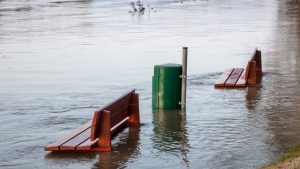
Brisbane City Council confirmed its stormwater and drainage teams have been inspecting known trouble spots ahead of the wet stretch, including low-lying sections of Rocklea, Fairfield and parts of the Norman Creek catchment that flooded during past storm events. A council spokesperson said crews had cleared debris from several gully pits in the inner south over the weekend as a precaution, and residents in flood-prone pockets are being urged to check their property drainage now rather than waiting until water is already pooling.
The State Emergency Service has echoed that message. Queensland SES figures show the organisation responds to several hundred storm-related callouts across the greater Brisbane region in a typical wet week, most of them for fallen trees, damaged roofs and flooded carports. With soil already damp from last week’s showers, arborists have flagged an increased risk of trees coming down in strong wind gusts, particularly older fig and jacaranda trees common in suburbs like Ashgrove, Paddington and New Farm.
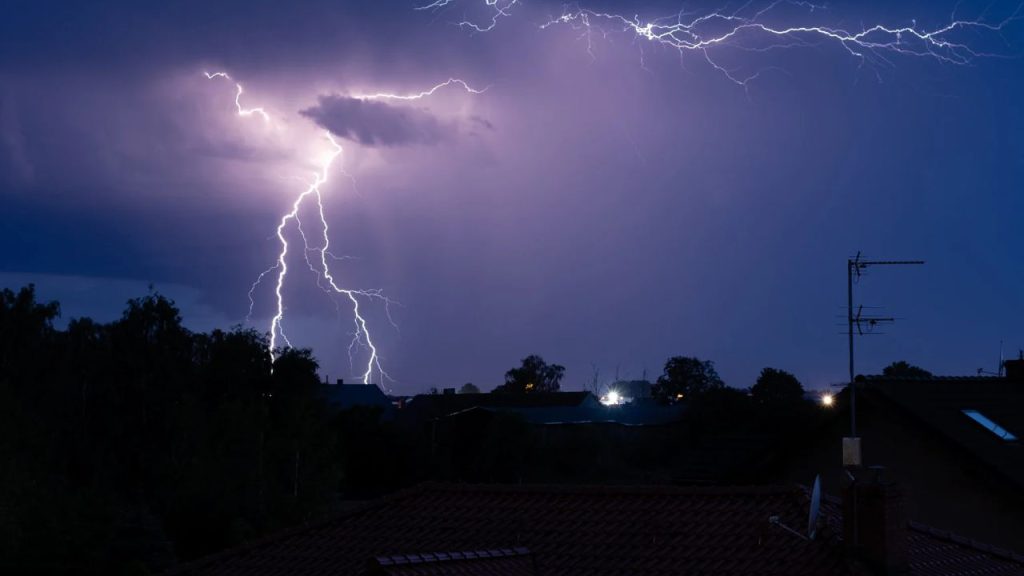
For Delaney and his neighbours in Carina, the bigger worry isn’t the rain itself but what comes with it. Severe thunderstorms in this part of Queensland can bring damaging wind gusts, large hail and intense short bursts of rain capable of flooding streets within minutes, even when the total rainfall for the day doesn’t look dramatic on paper. The Bureau’s severe weather warnings, when issued, typically cover a rolling window of six to twelve hours and are updated as cells form and move, which means Wednesday and Thursday could each bring multiple separate alerts rather than one blanket warning for the whole day.
Energex is also watching the forecast closely. Storm season in South East Queensland reliably brings a spike in outages, mostly from fallen branches and lightning strikes on the network, and the operator has reminded residents to report any downed power lines immediately rather than approaching them, treating every line as live until confirmed otherwise.
Schools across the city have been sent the standard wet-weather reminder that’s become routine this time of year: have a plan for early pickup if conditions turn severe during the school day, and keep an eye on the Bureau’s warnings rather than relying on what the sky looks like at drop-off. A few Brisbane primary schools, including ones in the Moggill and Kenmore Hills catchments where storm cells have historically hit hardest, have flagged they may bring assemblies and outdoor sport indoors for the rest of the week.
There’s a practical upside buried in the forecast too. After a dry patch through late October, Wivenhoe and Somerset dams have been tracking below their long-term average levels for this point in spring, and Seqwater has noted that a solid run of storm activity, even if it’s inconvenient on the ground, helps top up catchments ahead of summer. Nobody’s expecting this week’s rain to fix that gap on its own, but every centimetre counts going into the hotter months.
For now, the advice from both council and the SES is the familiar pre-storm checklist: clear gutters and downpipes, secure loose outdoor furniture, trim back any branches hanging near power lines, and charge phones and torches in case of a blackout. Anyone in a flood-prone street should know their evacuation route and keep important documents somewhere they can grab quickly if water starts rising.
Back in Carina, Delaney decided to leave the shade sail up but loosened the tension on it, on the advice of the hardware store clerk who sold it to him. “He said if it’s going to cop a big gust, better it flaps a bit than rips the post out of the ground,” he said. Whether that holds up through Wednesday afternoon remains to be seen.
The Bureau’s forecast will keep updating through the week as the storm cells form, and anyone wanting the most current severe weather warnings for the Brisbane region can check the Bureau of Meteorology’s website or the Queensland SES app, both of which push live alerts as conditions change. For now, the message from council and emergency services is simple: this isn’t a one-off shower to shrug off, it’s a multi-day system, and the best time to storm-proof a property is before the first thunderhead rolls in off the Bay, not during it.